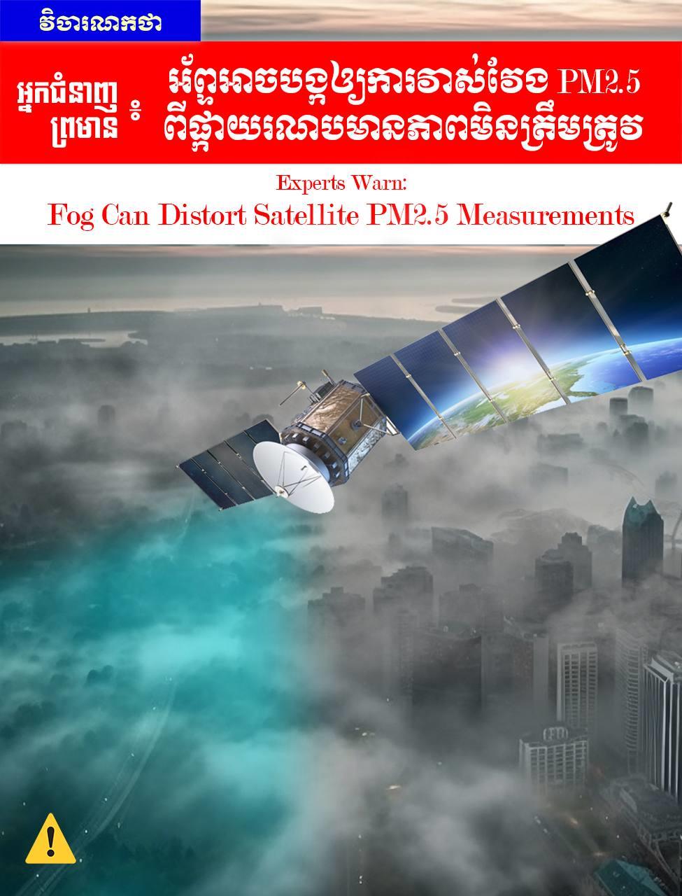
(Phnom Penh): Scientists warn that foggy conditions can cause significant inaccuracies in satellite-measured PM2.5 data, raising concerns about air quality interpretation during misty periods.
Satellite technology is widely used to monitor PM2.5 (fine particulate matter), especially in areas lacking ground-based monitoring stations.
However, researchers have confirmed that during foggy weather, satellite PM2.5 measurements can become unreliable.
(1) Why Do Satellites Get "Confused" by Fog?
Satellites cannot measure PM2.5 directly. Instead, they measure reflected light, a metric known as Aerosol Optical Depth (AOD). This data is then converted into ground-level PM2.5 estimates.
Fog interferes with this process in two main ways:
a) Light Scattering: Tiny water droplets in fog are highly effective at scattering light. This makes it difficult for satellite sensors to distinguish between pollution particles and moisture. As a result, the satellite may overestimate pollution levels or fail to retrieve data entirely.
b) Particle Swelling: In high humidity, pollution particles absorb water and expand in size.
This "swelling" sends a stronger optical signal to the satellite, leading to an overestimation of pollution levels, even if the actual dry mass of the dust is not that high.
(2) Data Gaps and Misinterpretation
a) Mistaken for Clouds: In thick fog, satellites often cannot see the ground clearly. Fog is sometimes misclassified as "low clouds," causing the system to discard the aerosol data entirely. This creates data gaps at times when pollution might actually be at its worst.
b) False Data: If the satellite fails to detect the presence of fog, it may report dangerously high pollution levels that are, in reality, just harmless water vapor.
(3) Impact on Air Quality Reports
Due to these error margins, satellite PM2.5 data during foggy periods should be interpreted with caution.
Public air quality reports that rely heavily on satellite data may exaggerate the severity of pollution or overlook it entirely due to data loss.
This issue is particularly critical during winter, when fog and smog frequently co-occur, often alongside high emissions and low air circulation.
(4) Data Integration for Improved Accuracy
To minimize errors, scientists integrate satellite data with Ground-based monitoring stations.
Meteorological data, and Weather forecasting models. This integrated approach helps adjust for fog interference and provides a much more reliable picture of air quality.
Experts emphasize that improving fog detection methods and accounting for humidity effects is essential for the future of air pollution monitoring.
Conclusion
Satellites are excellent tools, but they have weaknesses on foggy days. The public and policymakers must interpret data with extreme caution during winter, the rainy season, or on overcast days to avoid misunderstandings about the actual state of the air we breathe.
The views expressed in this article are those of the author.
=FRESH NEWS