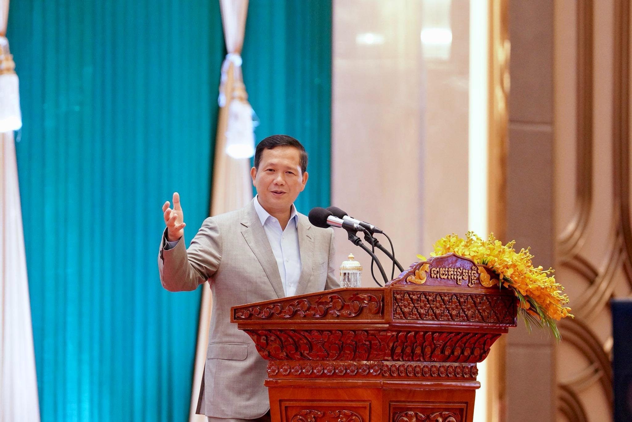
(Phnom Penh): Cambodian Prime Minister Hun Manet clarified that the figure of 181,436 square kilometres represents land area data measured in 2012 using precise technical systems and does not yet account for the surface area of Cambodia’s islands.
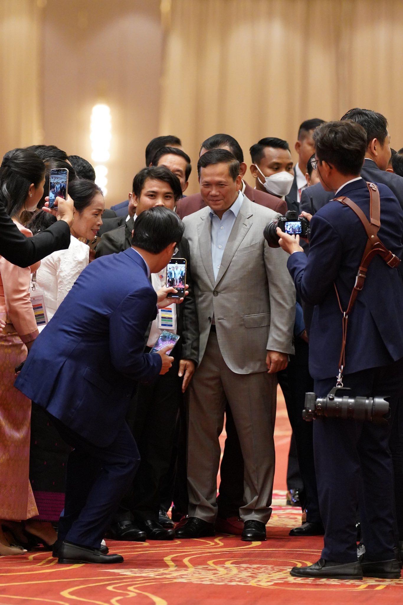
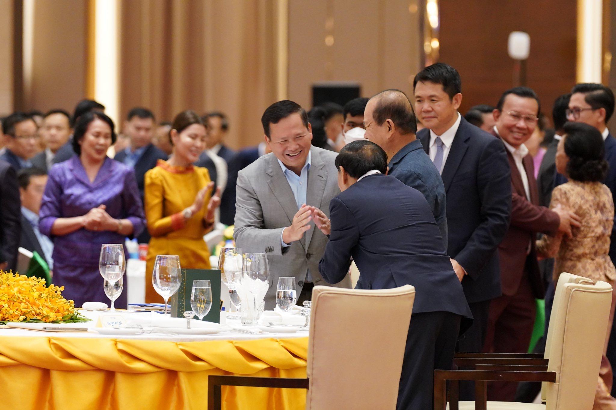
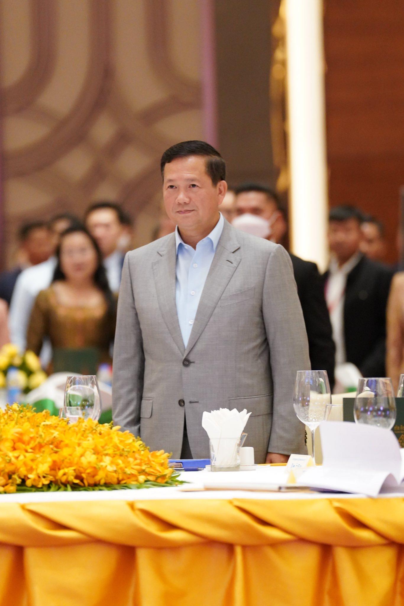
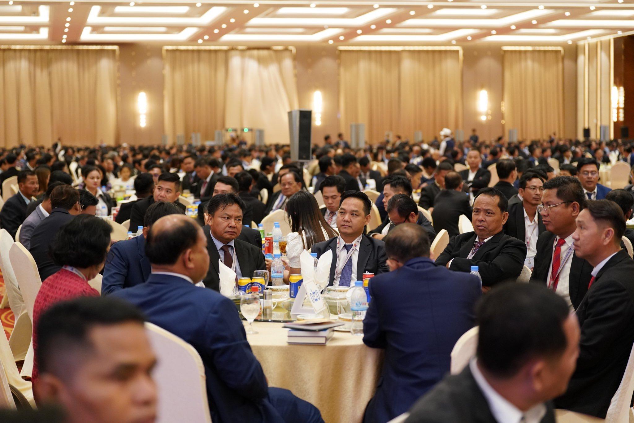
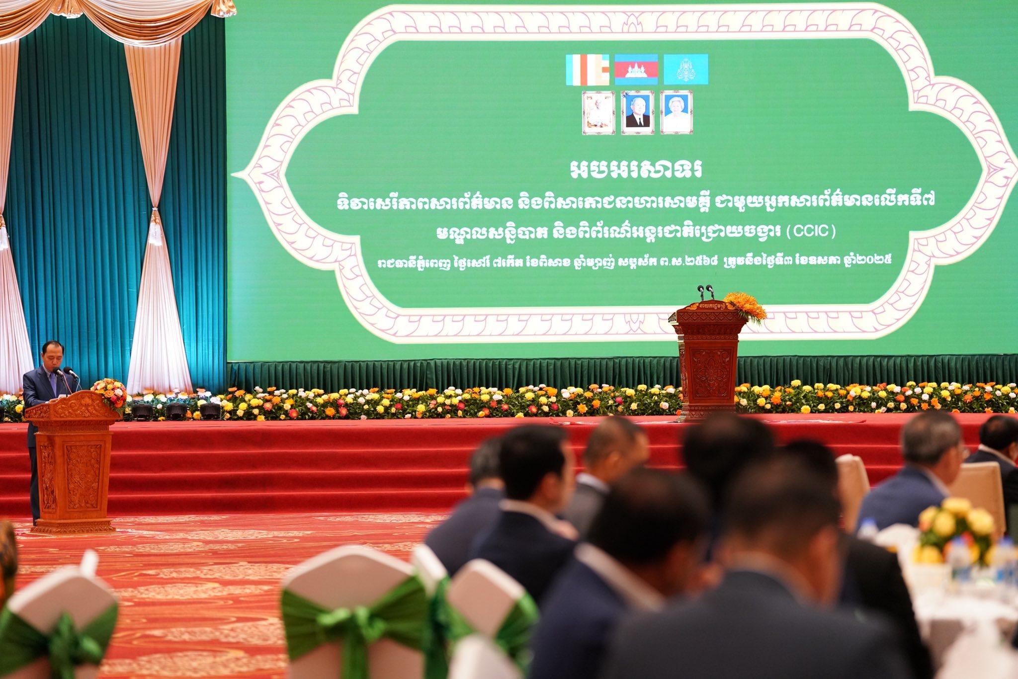
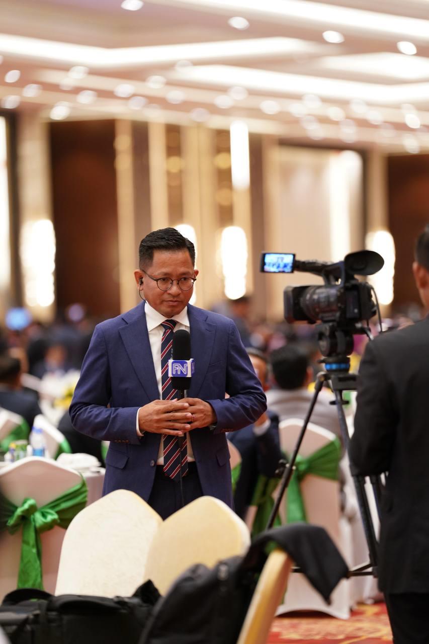
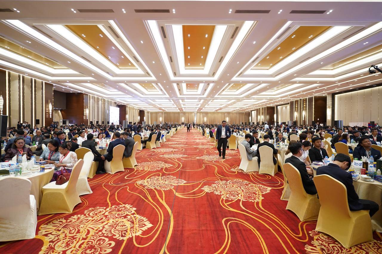
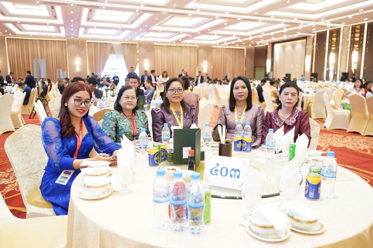
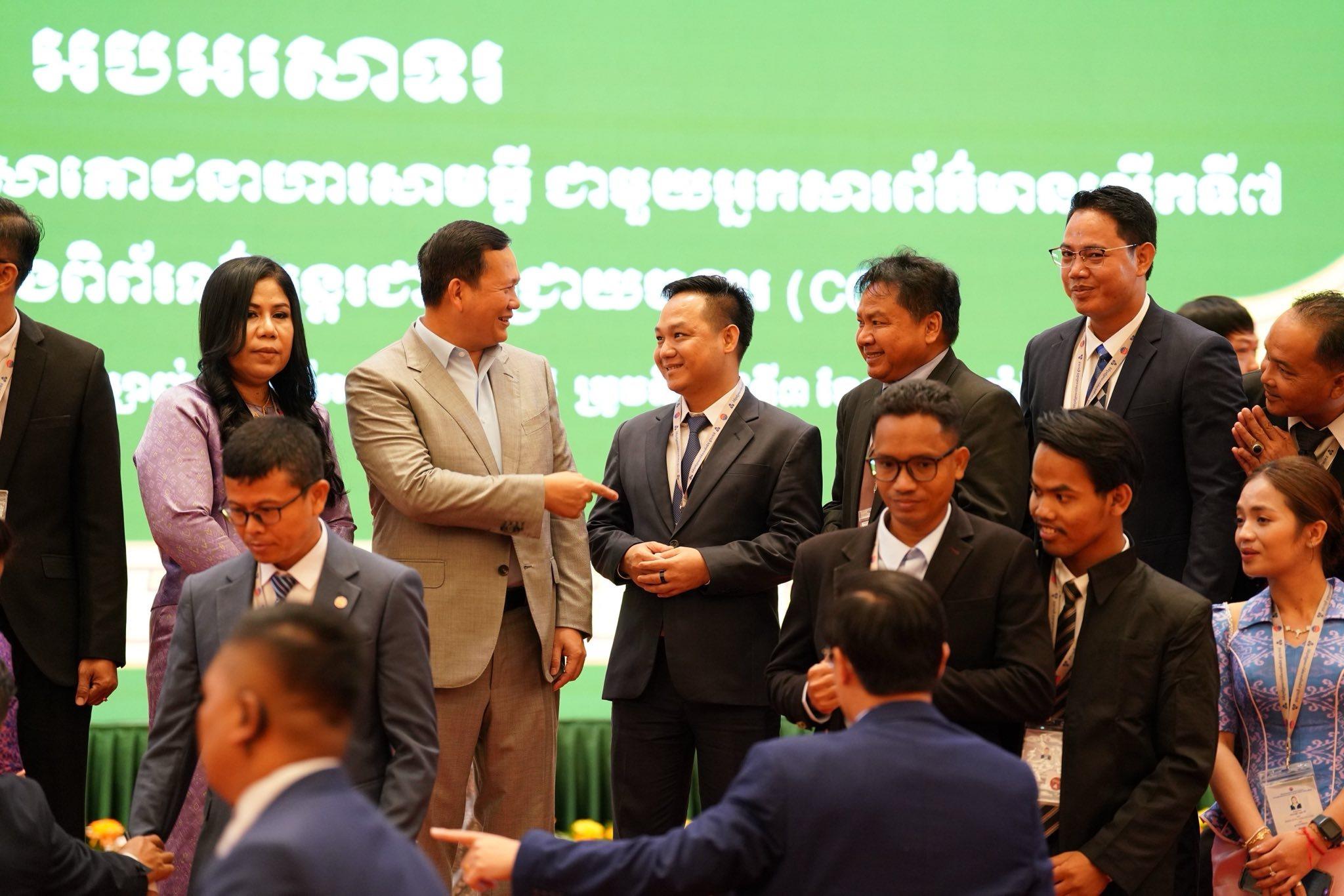
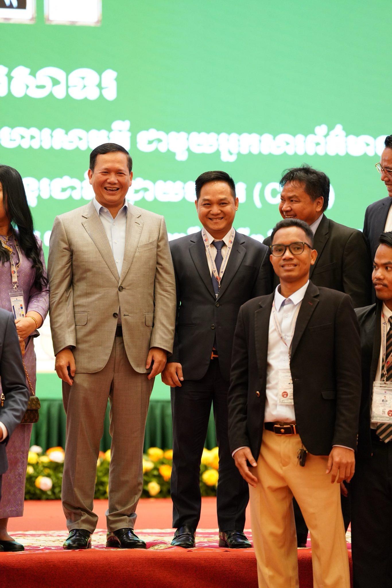
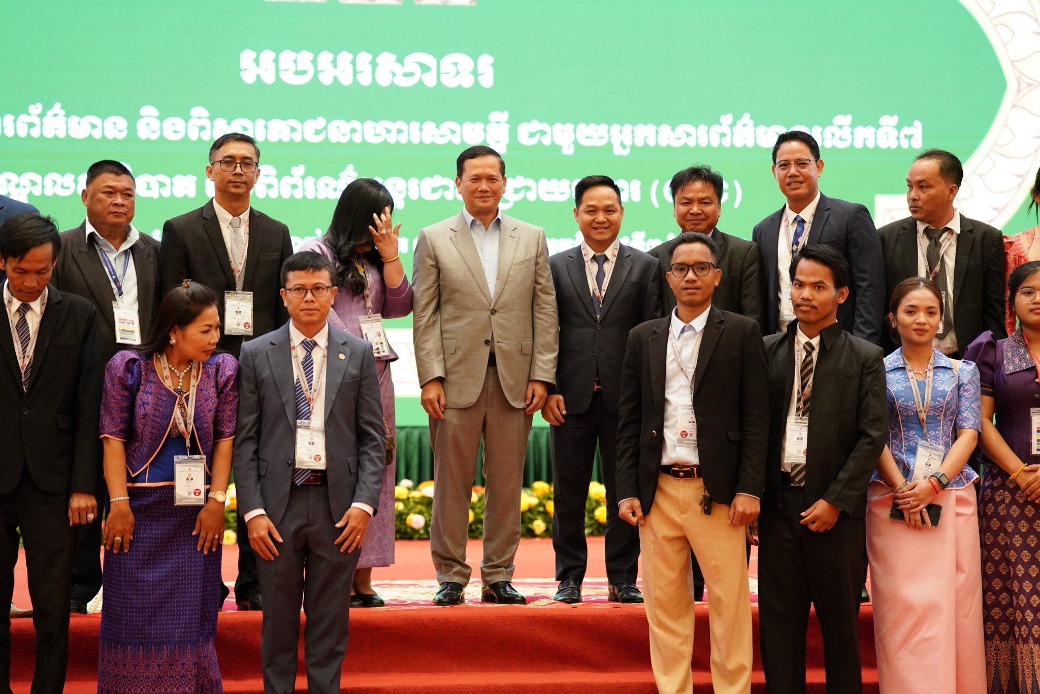
The premier spoke on Saturday (May 3) during the 7th gathering and solidarity dining with journalists at CCIC.
“Yesterday, I mentioned about Cambodia’s land area. The number we have all remembered since childhood is 181,035 square kilometres. […] I mentioned that our newly measured land area is 181,436 square kilometres. This is not yet an official figure for public release, but it is based on accurate data,” the premier underscored.
Samdech Thipadei noted that while some individuals have already begun sharing this updated figure publicly, it has not been done with malicious intent. Rather, in some cases, the explanation may not have been communicated clearly.
The premier continued, “Where does this figure of 181,436 square kilometres come from? In 2012, a technical team under the former national authority used a United States-based programme to measure the Cambodia–Viet Nam border. The data used was based on mutually agreed boundary line data (Line Two). A similar approach was taken along the Cambodia–Laos border, using agreed-upon data, with unresolved border areas excluded. The measurements were conducted using GPS technology, with a scale of 1/10,000 for most areas, and 1/20,000 for the Cambodia–Thailand border. As a result, the recorded land area was 181,436 square kilometres.”
=FRESH NEWS