TOKYO, Aug 5 (AFP) - Typhoon Khanun was set to approach Japan's southernmost Okinawa islands again before changing north to hit the western main islands next week, dumping heavy rain over wide areas as it meanders, the Meteorological Agency (JMA) said on Saturday.
Highlighting increased abnormal weather blamed on climate change, temperatures hit 40 degrees Celsius (104 F) in the city of Date in Fukushima prefecture, the highest this year in Japan.
than 70 in Okinawa prefecture, was about 100 km (60 miles) west of Kagoshima prefecture Tokuno Island at 5 p.m. (0800 GMT).
It has an atmospheric pressure of 970 hectopascals at its centre, blowing winds of 30 metres per second (70 miles per hour), with maximum gust of 45 metres per second (100 mph), according to the JMA.
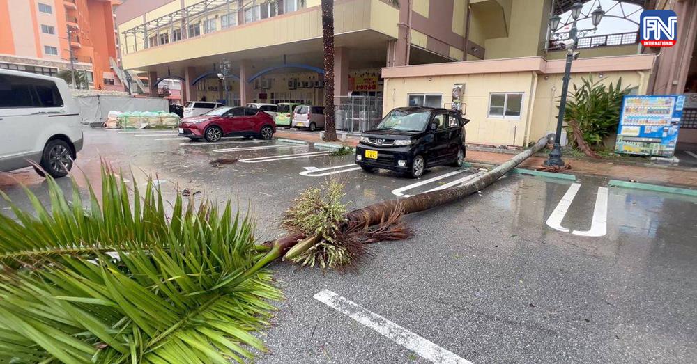
Authorities remained on high alert for more heavy rain, high water and storm surges in the wake of the typhoon over the weekend, as Okinawa has already soaked up a massive amount of water, with damage to buildings.
Rainfall of 200 to 300 mm (8-12 inches) was expected over the next 18 hours in the Shikoku, Amami and southern Kyushu regions, while 50-100 millimetres was expected in Okinawa and 100-200 mm (4-8 inches) in the northern Kyushu and Kinki regions, the JMA said.
Footage on public broadcaster NHK showed a dozens of cars submerged and houses flooded in Naha, Okinawa's capital.
For the coming 24 hours, rainfall of 200-300 mm was forecast for the Kyushu, Shikoku, Kinki and Tokai regions, while the Amami region was expected to get 100-200 mm.
