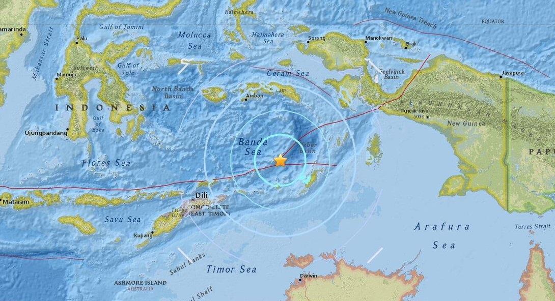
JAKARTA, March 26 (Xinhua) -- An earthquake measuring 6.4 on the Richter scale jolted 214 km NW of Saumlaki, Indonesia at 20:14:47 GMT on Sunday, the U.S. Geological Survey said.
The epicenter, with a depth of 171.51 km, was initially determined to be at 6.6546 degrees south latitude and 129.8659 degrees east longitude.
Indonesia's meteorology and geophysics agency reported earlier that an earthquake measuring 6.9 Richter scale jolted Maluku province of eastern Indonesia early Monday morning.
The quake struck at 3:14 a.m. Jakarta time Monday with epicenter at 189 km northwest Maluku Tenggara Barat of the province and depth at 169 km under sea bed, official of the agency Yusuf Moktarali revealed.
"However, this quake is not potential for triggering tsunami, so we did not issue a warning," he told Xinhua by phone.
Indonesia is prone to earthquake as it lies on a vulnerable area of so-called "the Pacific Ring of Fire."
