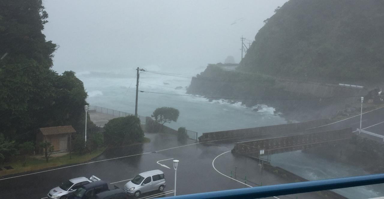
TOKYO, Aug. 7 (Xinhua) -- A strong typhoon made landfall again on Monday afternoon in western Japan, lashing areas across the southwest of the Japanese archipelago and leaving havoc in its wake.
According to the weather agency here, Typhoon Noru made landfall at 4:15 p.m. local time (0715 GMT) at north of Wakayama Prefecture, and is expected to bring heavy downpours and strong winds to a wide swathe of the prefecture and surrounding areas.
Wakayama is located on the Kii Peninsula in the Kansai region on Japan's Honshu island.
Noru, the fifth typhoon of the season, which has already claimed the lives of 2 people and left at least 17 other injured, is moving in a northwesterly direction at a relatively slow speed, the weather agency said.
Specifically, the Japan Meteorological Agency (JMA) said that the typhoon was moving at a speed of 20 kilometers per hour, meaning that sustained heavy downpours and constantly powerful winds could be expected.
The storm has an atmospheric pressure of 970 hectopascals and packing strong gusts clocked at 162 kph, the JMA said.
The JMA has warned of rivers breaching their banks and causing flooding as well as landslides. It also said that citizens residing along the route of the typhoon should be vigilant for stormy winds and high waves.
Local media said that more than 17,000 people have been ordered to evacuate or are under evacuation advisories in western Japan as a result of the typhoon.
In central Japan, "tens of thousands of people have been told to prepare to evacuate," Japan's public broadcaster NHK said.
The typhoon has caused major disruption to transportation networks, with West Japan Railway Co. canceling some of its operations between Shikoku and the Honshu main island.
More than 70 Shinkansen bullet train services have also been halted, it said.
Kansai International Airport in Osaka Prefecture said it cancelled more than 120 domestic and international flights, while carriers All Nippon Airways and Japan Airlines said they have cancelled more than 200 flights.
Rainfall of more than 330 millimeters in some parts of Kochi, and more than 260 mm in the town of Kamikatsu in Tokushima Prefecture, both in Japan's Shikoku region, was recorded as of Monday morning, the JMA said.
The weather agency also said that in the next 24-hour period through noon on Tuesday, levels of rain are expected to reach 400 mm in the Kinki region in south Honshu, and the Tokai region that runs along the edge of the Pacific Ocean.
Meanwhile as much as 300 mm of precipitation is expected in the Hokuriku and Kanto-Koshin regions, which includes Japan's capital city of Tokyo.
Wind speeds are expected to range between 162 kph and 144 kph, the weather agency said.
The typhoon already pummeled the island of Kyushu with heavy rain and powerful winds on Sunday.
The region, the southwesternmost of Japan's main islands, is still reeling in the wake of torrential rains battering the area just one month ago.
