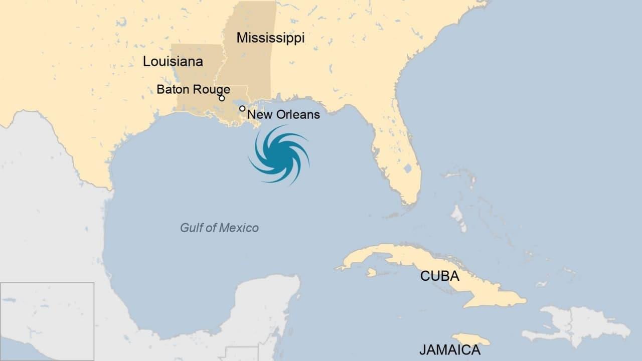
WASHINGTON, Aug 29 (BBC) - Tens of thousands of people are fleeing the US state of Louisiana as Hurricane Ida closes in from the Gulf of Mexico.
Ida is now a Category Four hurricane, one below the highest level, with up to 130mph (209km/h) sustained winds.
It is expected to make landfall on Sunday evening, bringing a "life-threatening" storm surge. It could be stronger than Hurricane Katrina, which devastated much of New Orleans in 2005.
Traffic jams clogged motorways as residents heeded orders to evacuate.
Governor John Bel Edwards warned the storm could be one of the biggest to hit the state in 150 years.
"Your window of time is closing," he warned residents on Saturday.
"By the time you go to bed tonight you need to be where you intend to ride the storm out and you need to be as prepared as you can be, because weather will start to deteriorate very quickly tomorrow."
The governor of neighbouring Mississippi has declared a state of emergency.
President Joe Biden said Ida was "turning into a very, very dangerous storm" and the federal government was ready to provide help.
The National Hurricane Center said that, at 06:00 GMT on Sunday, Ida was about 105 miles south-east of the mouth of the Mississippi river and was moving north-west at about 15mph. While still over water, it has the capacity to strengthen even further.
Ida earlier battered part of Cuba, bringing down trees and tearing off roofs, while Jamaica suffered heavy rains. No-one was reported killed.
Sunday marks the 16th anniversary of Hurricane Katrina, which devastated New Orleans after making landfall as a category three. Katrina flooded 80% of the city and killed more than 1,800 people.
The impact of climate change on the frequency of storms is still unclear, but increased sea surface temperatures warm the air above and make more energy available to drive hurricanes, cyclones and typhoons.
As a result, they are likely to be more intense with more extreme rainfall.